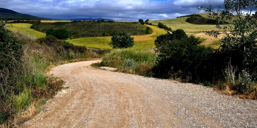
With our guides you will be able to personalize duration and difficulty of the routes based on your own wishes and walking pace. In a few clicks you can create your personalized hiking guides. Choose your starting point, your arrival point and, if you wish, even a middle point where to take a break.

This is the route walked by the pilgrims arrived by sea, arriving in the ports on the north-coast of Santiago de Compostela, mainly Ferrol and A Coruña. These cities, thanks to their strategic position, became the starting points of the two current trails of the Camino Inglés(The English Way). The trail from the city of Ferrol is about 70 ml long and can be covered in 6 days, while from the port of A Coruña to Santiago there is a 46 ml long trail to be covered in 3 stages. The two trails then meet at Hospital de Bruma, about 22 ml from Santiago.
Map of The Camino Ingles
Our guides
Plan your route with the The Camino Ingles App
Download or print the PDF guide of The Camino Ingles
The Forwalk paper guide is an A5 format mini-book with all the information on your chosen paths, the detailed maps, the list of hotels and much more. It is very easy to consult and to carry along during your trip. This guide is completely personalized to your needs and made available to you digitally (Acrobat Reader PDF file), to be accessed through smartphones and tablets or printed by you. You can also order it already printed in color on glossy paper, and delivered to you as a finely bound book.
Download the gpx routes map of The Camino Ingles
GPX tracks are maps that you can download on GPS device to take with you on your walk. Our GPX tracks include routes with details of places such as shops, restaurants, lodgings, drinking fountains and springs.
- Download From Ferrol to Santiago
- Download Ferrol to Finisterre and Muxia
- Download From Ferrol to Santiago in 9 days
- Download From A Coruña to Santiago
Our GPX tracks are tested on the following devices : Garmin ETREX 22x, Garmin eTrex Touch 35, Garmin Oregon 700, Garmin GPS MAP 66