With our guides you will be able to personalize duration and difficulty of the routes based on your own wishes and walking pace. In a few clicks you can create your personalized hiking guides. Choose your starting point, your arrival point and, if you wish, even a middle point where to take a break.
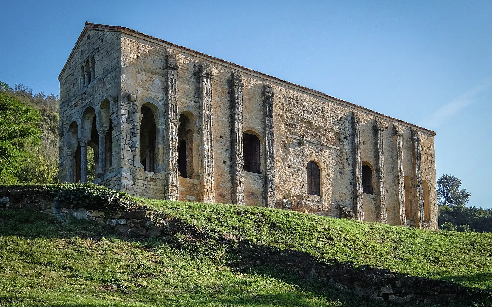
The Camino Primitivo (The Primitive Way) is believed to have been the first Jacobean itinerary of which information is available. This route is the one followed by King Alfonso II “the Casto” to visit the tomb of the Apostle James, discovered in the IX century during his reign. It is about 315 km long, it starts from Oviedo and crosses Asturias and Galicia in about 15 days, rejoining the French Way in the charming town of Melide. Much of this itinerary takes place above the eight hundred meters, with continuous ascents and descents, crossing beautiful mountains, streams of fresh water, and small and fascinating rural towns. It is a route that is challenging at times, but not prohibitive: just a minimum level of training is required for it. There are two alternatives that bifurcate in the town of Borres and rejoin in Porto del Palo: The Hospitales route is the oldest trail, passing along a ridge on a panoramic mountain path strewn with ruins of ancient pilgrim hospitales. The alternative route down Pola de Allande has more slopes than the first one, but can be walked into shorter stages. It is especially recommended to pilgrims when the weather conditions do not allow walking on the ridge paths.
Map of The Camino Primitivo
Our guides
Plan your route with the The Camino Primitivo App
Download or print the PDF guide of The Camino Primitivo
The Forwalk paper guide is an A5 format mini-book with all the information on your chosen paths, the detailed maps, the list of hotels and much more. It is very easy to consult and to carry along during your trip. This guide is completely personalized to your needs and made available to you digitally (Acrobat Reader PDF file), to be accessed through smartphones and tablets or printed by you. You can also order it already printed in color on glossy paper, and delivered to you as a finely bound book.
Download the gpx routes map of The Camino Primitivo
GPX tracks are maps that you can download on GPS device to take with you on your walk. Our GPX tracks include routes with details of places such as shops, restaurants, lodgings, drinking fountains and springs.
- Download From Oviedo to Santiago through the Hospitales route
- Download From Oviedo to Santiago: 16 days on the Route of Pola
- Download From Oviedo to Santiago: 11 days on the Route of Pola
- Download The Way of Saint James from Lugo: the last 100km
Our GPX tracks are tested on the following devices : Garmin ETREX 22x, Garmin eTrex Touch 35, Garmin Oregon 700, Garmin GPS MAP 66